Unmanned Systems
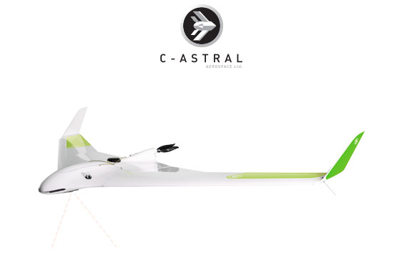
A revolutionary multispectral, visible light and thermal remote sensing instrument is here. The industry leading Bramor mSX BVLOS long endurance UAS is equipped with the advanced Micasense ALTUM sensor, capable of acquiring data for precision agriculture and multi mission remote sensing for 3 hours per flight. Enduring - Precision!
PRODUCT HIGHLIGHTS
Thermal, multispectral and high resolution imagery in one sensor
Thermal, multispectral and high resolution imagery in one sensor
Large area multispectral mapping
Large area multispectral mapping
Dataling range up to 30km
Dataling range up to 30km
Map over 500 ha at 150m AGL
Map over 500 ha at 150m AGL
Map over 2000 ha at 600m AGL
Map over 2000 ha at 600m AGL
Product Applications
Crop heath mapping
Crop heath mapping
Phenotype
Phenotype
Water stress analysis
Water stress analysis
Scouting for leaks
Scouting for leaks
Fertilizer management
Fertilizer management
Zone mapping
Zone mapping
Bark beetle detection
Bark beetle detection
Disease identification
Disease identification
Basic Bramor mSX System Package
Airframe:
- Survey grade GNSS L1/L2 receiver
- Spread spectrum data link
- ALTUM multispectral sensor
GCS:
- SX 101 Bluetooth stand-alone magnetic communication unit
- 11,6" Rugged tablet with sunlight readable screen (MIL-STD-810G / IP65)
- Spread spectrum data link
- C3P flight control software
Launcher:
- CAT 1 foldable elastic launching system
Transportation:
- Flight case transportation system (2x)
Other:
- Recovery parachute with a protective pack (2x)
- Set of basic spares
- Battery charger
- Training at C-Astral (excluding lodging & transportation costs)
- Documentation & Manuals

